Incredible satellite images show Greenland’s massive ice sheet melting
Incredible satellite images show Greenland’s massive ice sheet melting
Share:
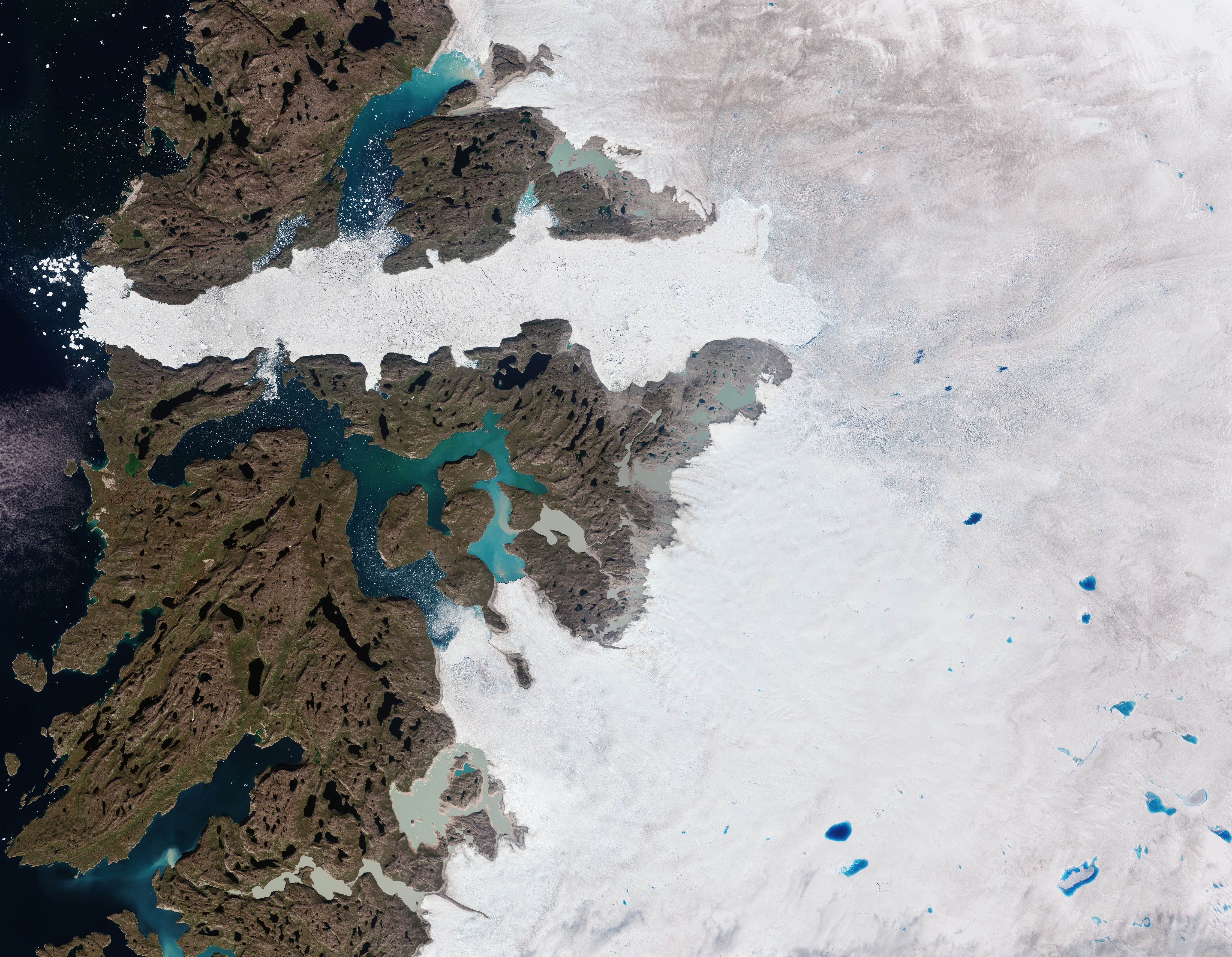
Satellite observations have revealed the Greenland ice sheet’s rapid thinning, which has accelerated as the planet warms. The sheet is a mass of glacial land ice and is an integral part of Earth’s climate system helping to reflect the sun’s warm rays and keep the Arctic cool, regulating sea level, and influencing weather.
![[Changes in the thickness of the Greenland Ice Sheet are seen based on NASA and ESA satellite data. Between 2013 and last year, the sheet thinned by a little under four feet on average]](https://static.independent.co.uk/2024/12/20/21/Greenland-Ice-Sheet-Elevation-Change.jpg)
Now, scientists have used NASA and European Space Agency satellites to reveal the sheet’s thinning and record the first measurements of its change over recent years. Altogether, the ice sheet shrank by 563 cubic miles, losing enough mass to fill Africa’s Lake Victoria. The most extreme thinning occurred at the glaciers along its edge, including those known as Jakobshavn Isbræ and Zachariae Isstrøm.
![[An artist’s rendering shows the ICESat-2 satellite over Earth. The satellite allows scientists to measure the elevation of ice sheets, glaciers, and sea ice]](https://static.independent.co.uk/2024/12/20/21/Icesat2-HQprint_print.jpg)
Between 2013 and last year, the sheet thinned by a little under four feet on average, although thinning across its ablation zone — the lower part of the glacier where more snow is lost than accumulates — was five times larger than that. The biggest changes occurred during 2012 and 2019, when temperatures were extremely hot.
![[An illustration shows the European Space Agency’s CryoSat mission over the Earth. CryoSat-2 uses radar to make its observations]](https://static.independent.co.uk/2024/12/20/21/CryoSat.jpg)
CryoSat-2 uses radar to achieve similar results, while ICESat-2 has a laser system. Radar can penetrate the ice sheet’s surface and through clouds. Laser signals cannot operate when clouds are present. Despite these differences, the scientists were “very excited” to find that the measurements of the Greenland ice sheet’s elevation change largely agreed, with 3 percent of what is actually happening.