While parts of the UK can expect more snow, the weather is expected to get milder mid-week. The UK is finally set to experience some milder weather after two weeks of a cold snap gripping the country, which saw temperatures plummet to -7C. The week will start off feeling chilly with to a brisk southeasterly breeze seeing freezing temperatures of 1C across the country. Most of England and Wales can mostly expect dry spells during this cold weather, putting an end to the “anticyclonic gloom” which brought dull skies and bitter weather over the last fortnight.
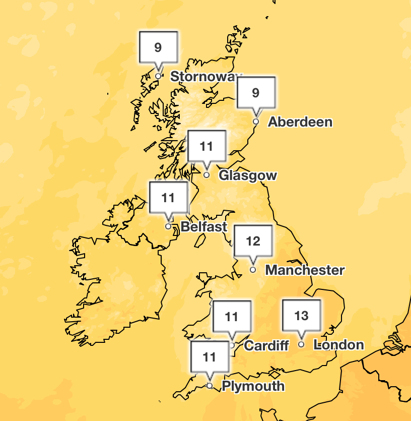
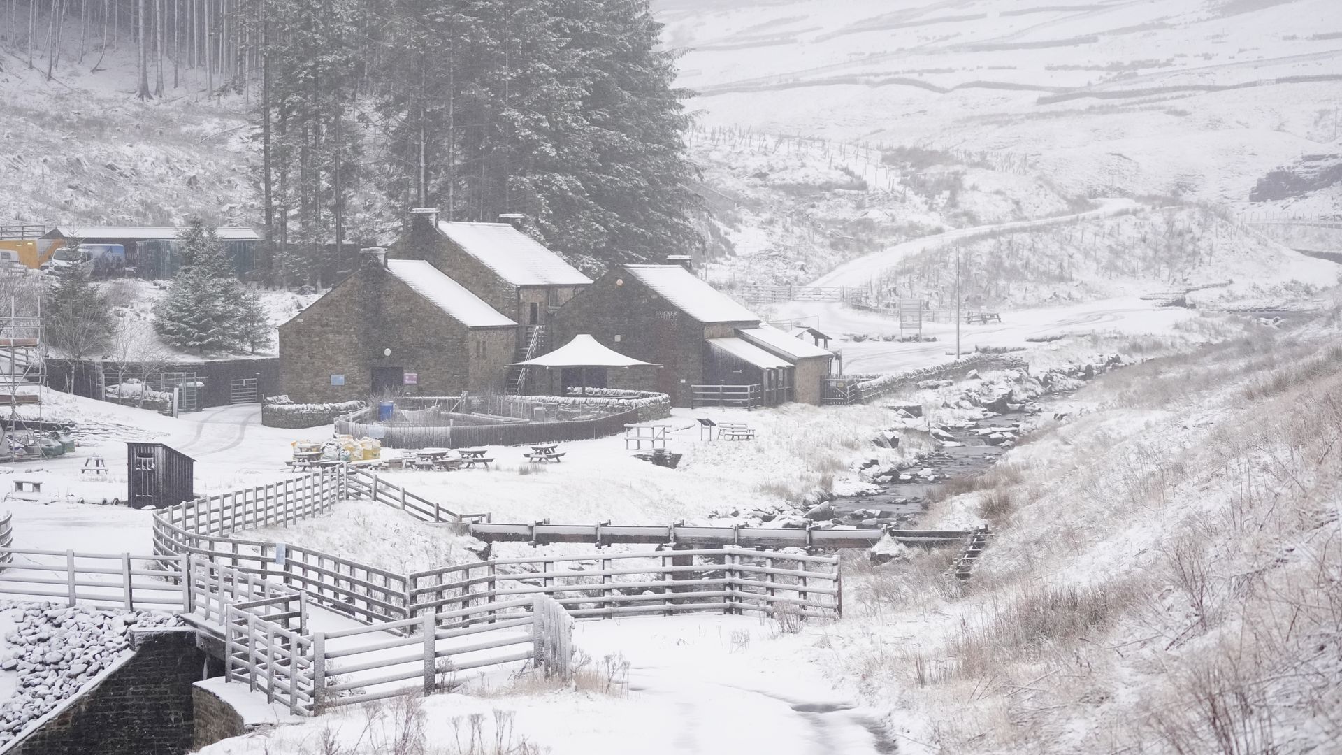
Some parts of the UK experienced a distinct lack of sunshine over the last few weeks, and parts of East Anglia were hit with snow, with with 2cm in Norfolk and 1cm in Suffolk, over the weekend. Snow is predicted to hit parts of Scotland and the north of England for Monday and Tuesday. By Thursday, temperatures are set to shoot up to double figures with highs of 14C in some parts of the country. Across the UK, temperatures will average between 11C and 13C, seeing a distinct change from the last few week’s freezing temperatures and snowy climates.
Meteorologist Ellie Glaisyer said: “Over the weekend so far we’ve seen a couple of centimetres in the east. “Going forward, we could see between 1cm and 3cm in parts of Scotland above 100m and the same in the north of the UK Monday into Tuesday. “In the highest areas, above 300m, Scotland could see up to 20cm.”. While temperatures are set to rise mid-week, it’s also set to be wetter than the start of the week as weather grows “unsettled”, according to the forecaster.
The forecaster predicted “bands of rain” most days, especially across the north and west, with windy weather and risk of gales. The Met Office said that these mild temperatures will go into next week, as they stay well above February’s average, which typically sees 6C as the usual monthly average in Scotland and 9C in southern England. The forecaster’s meteorologist described this as a “noticeable shift” from the last fortnight, which was below average, but he said it was unlikely to match the record-breaking February temperatures recorded in 2019, where a staggering 21.2C was recorded in Kew Gardens.
These above average temperatures for February come after the warmest January ever was recorded globally, defying expectations that 2025 might be cooler than previous years. The Met Office said that the UK was cooler than average in January, but there was also some volatile weather as parts of the country were hit by “once in a generation” Storm Eowyn, which left 600,000 homes and businesses without power.
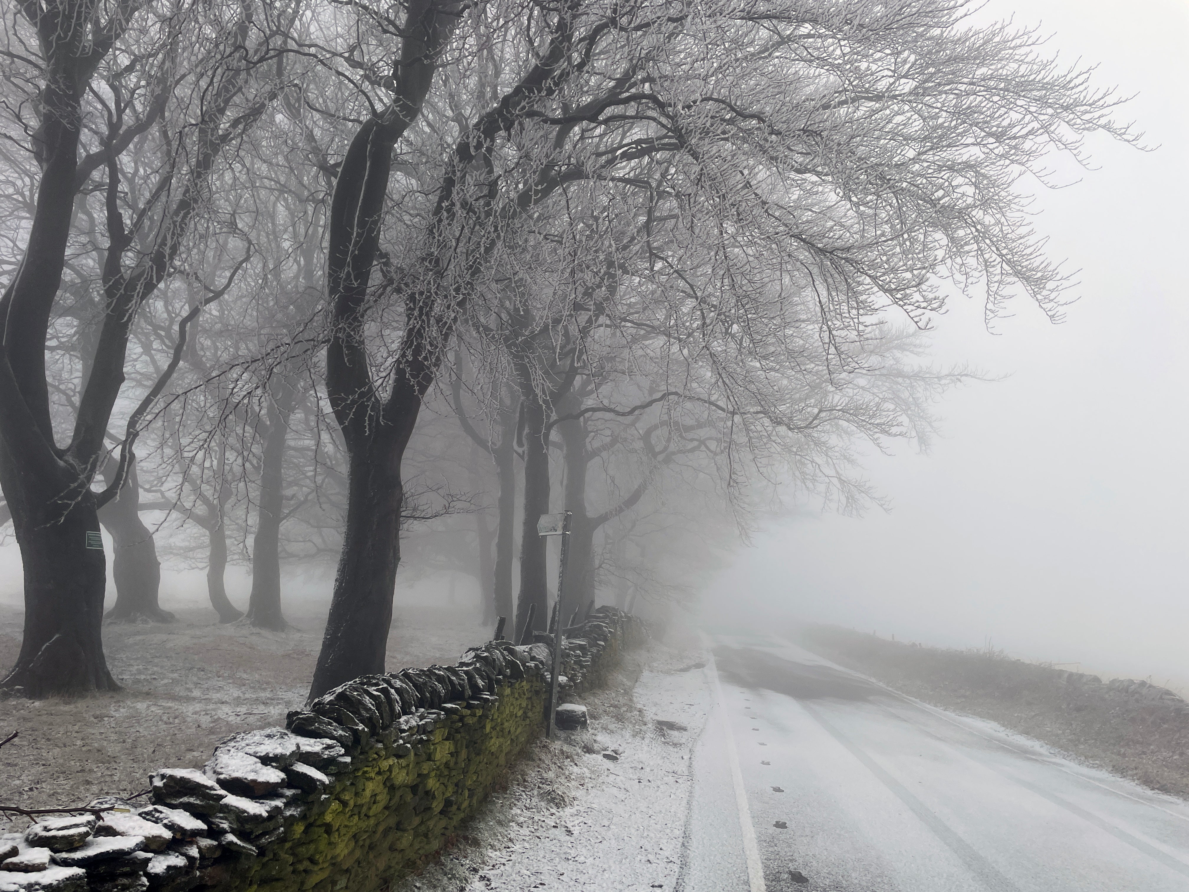
Today:. England and Wales will tend to stay dry, with some bright or sunny spells. Northern Ireland will remain cloudy. Scotland will see some bright spells, but also the risk of some wintry showers. Feeling chilly, with a brisk southeasterly breeze. Tonight:. Outbreaks of rain moving across northwestern parts of the UK through this evening and overnight, falling as snow for parts of Scotland. Dry elsewhere with a patchy frost forming.