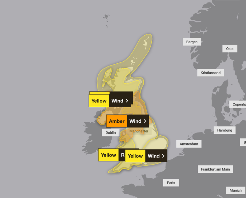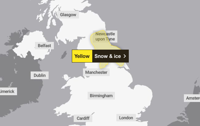
Yorkshire and the Humber, northwest England and northeast England will be affected on Saturday. Yellow weather warnings for ice and snow have been issued across parts of the UK this weekend. The Met Office said Yorkshire and the Humber, northwest England and northeast England will be affected between 6am and 2pm on Saturday. A Met Office spokesperson said: “Outbreaks of rain, sleet and snow are likely to develop early Saturday before easing from the west during the afternoon.
![[Freezing rain - commonly known as ice storms in North America- is not often seen in the UK because the conditions needed for it are quite specific]](https://static.independent.co.uk/2025/02/08/20/27/SEI238818531.jpeg)
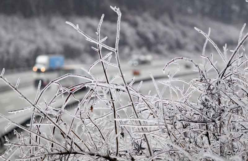
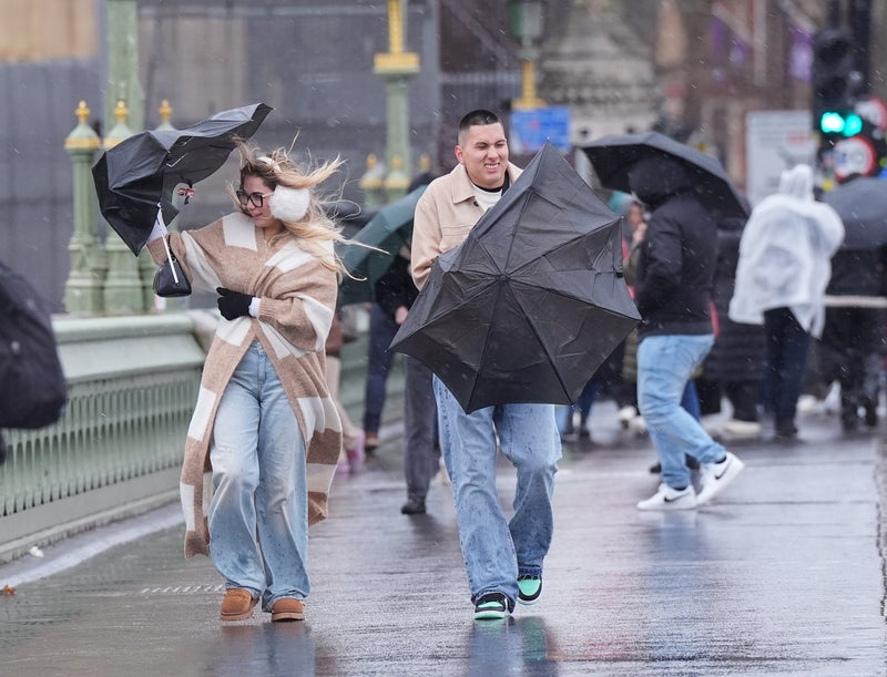
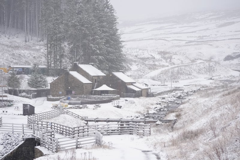
“Snow is more likely to the east of the Pennines, particularly above 150 metres, where 2-5 cm may accumulate over the North York Moors and Northumberland. “There is also a risk of ice over the Pennines, particularly above 200 metres where freezing rain is possible.”. Freezing rain - commonly known as ice storms in North America- is not often seen in the UK because the conditions needed for it are quite specific.
It is rainfall that has become “supercooled” as it falls from the sky, travelling through various temperatures in the atmosphere. It starts as sleet or hail high up in the atmosphere, but as it travels down it melts through a layer of warmer air, then refreezes again through a layer of colder air near the surface. These conditions could be seen in Britain over the coming days, as high pressure to the north and east of the country continues to bring cloud and cold air.