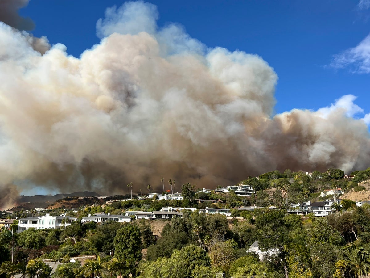
Gusty winds and extreme fire weather return to Southern California
Share:
Windy and dry conditions returned to Southern California on Monday, raising the risk of new wildfires sparking as firefighters continue to battle two major blazes in the Los Angeles area that started in similar weather nearly two weeks ago. Gusts could peak at 70 mph (113 kph) along the coast and 100 mph (160 kph) in the mountains and foothills during extreme fire weather that is expected to last through Tuesday.
The National Weather Service issued a warning of a “ particularly dangerous situation ” for parts of Los Angeles and Ventura counties from Monday afternoon through Tuesday morning due to low humidity and damaging Santa Ana winds. “The conditions are ripe for explosive fire growth should a fire start,” said Andrew Rorke, a meteorologist with the National Weather Service in Oxnard.
Rorke said a small amount of rain in the weekend forecast was a hopeful sign, though he pointed out more gusty winds would return to the area on Thursday. Authorities urged people not to mow their lawns to prevent sparking a fire, nor start any fires that could get out of control. They also asked residents to review their evacuation plans and ready emergency kits and be on the lookout for any new blazes and report them quickly.
David Acuna, a spokesman with the California Department of Forestry and Fire Protection, said the biggest concerns are the Palisades and Eaton Fires breaking their containment lines and a new blaze starting. “Don’t do things to start another fire so we can focus on the mitigation of the current fires,” Acuna said.


