High winds have worsened Cal wildfires. What makes them?
Share:
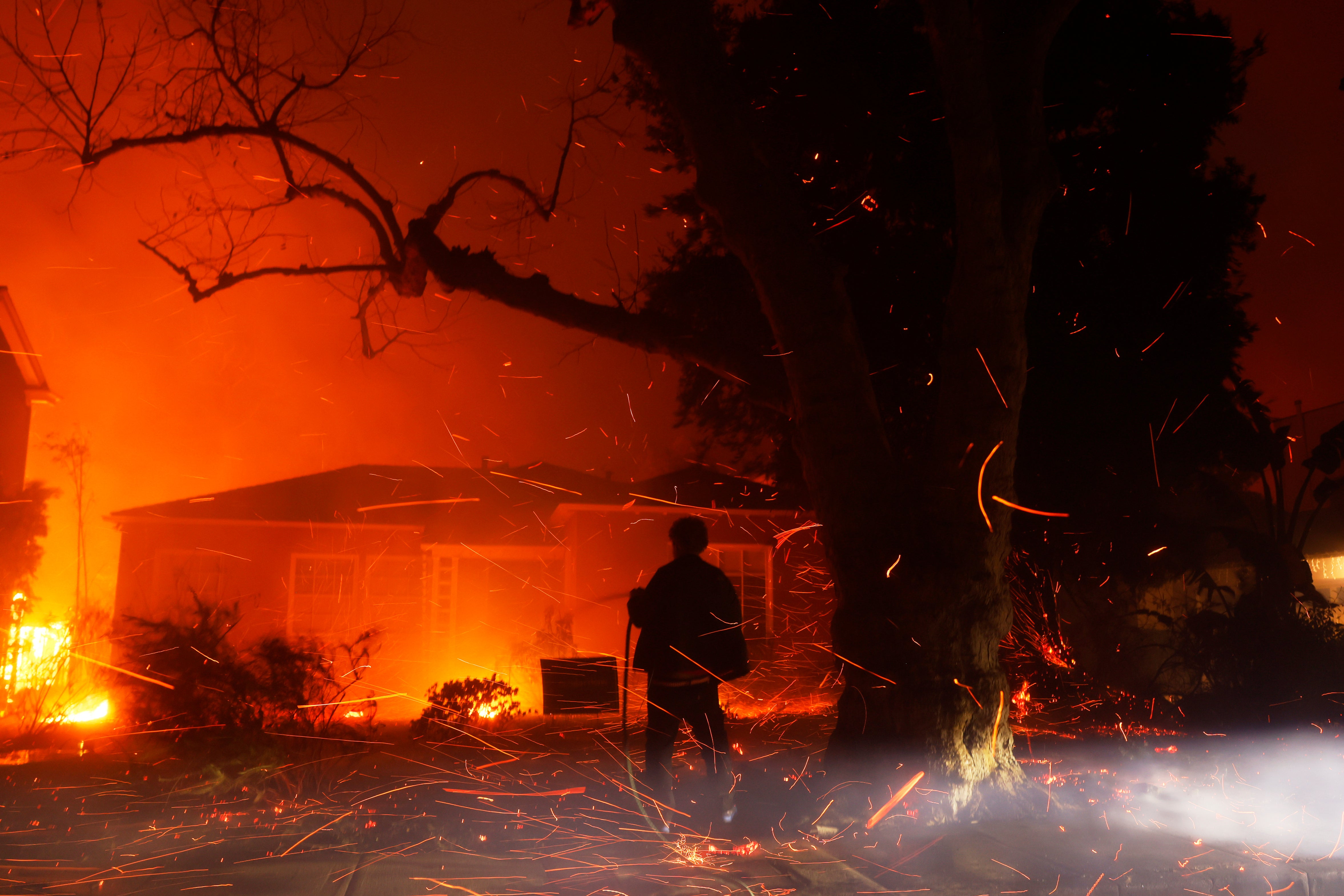
High winds have been a key ingredient of the devastating Los Angeles wildfires, and after a brief lull at the end of last week they are forecast to intensify through the middle of this week. That's certain to complicate the fight against blazes that have killed at at least 24 people, incinerated thousands of buildings and are likely to be one of the costliest natural disasters ever in the U.S.
Here's a deeper look at the science behind wind, including what it is, what causes it and how it behaves in the geography around southern California. What is wind?. It's the movement of air that results from differences in atmospheric pressure across a landscape. The greater the pressure differences, the stronger the winds.
Topography matters, too — treeless mountain peaks are typically windier without those trees, or buildings, to slow the winds. And different parts of Earth — water and land — heat from sunlight at different rates, which shapes wind. What are Santa Ana winds?.
Southern California's winds typically flow onshore from the Pacific, carrying moist air onto land. The Santa Ana winds are warm currents that move in the opposite direction. They typically occur from September through May, and are so dry that they're linked with some of the worst wildfires the region has ever seen, in part because the lack of humidity in the air contributes to vegetation quickly drying.
How does Southern California’s geography affect wind?. When the wind rushes into southern California from the northeast, as it does during a Santa Ana, it's coming from Nevada and western Utah, over and between the mountains in between. High pressure over those states, combined with a low-pressure system in Mexico, results in air funneling rapidly along those mountain passes or climbing up and over peaks like a roller coaster, picking up speed as it goes.


