A stretched polar vortex like this one happens lower in the atmosphere and is different than when the polar vortex has sudden warming, weakens and all the cold air escapes south and out of the poles, Cohen said.
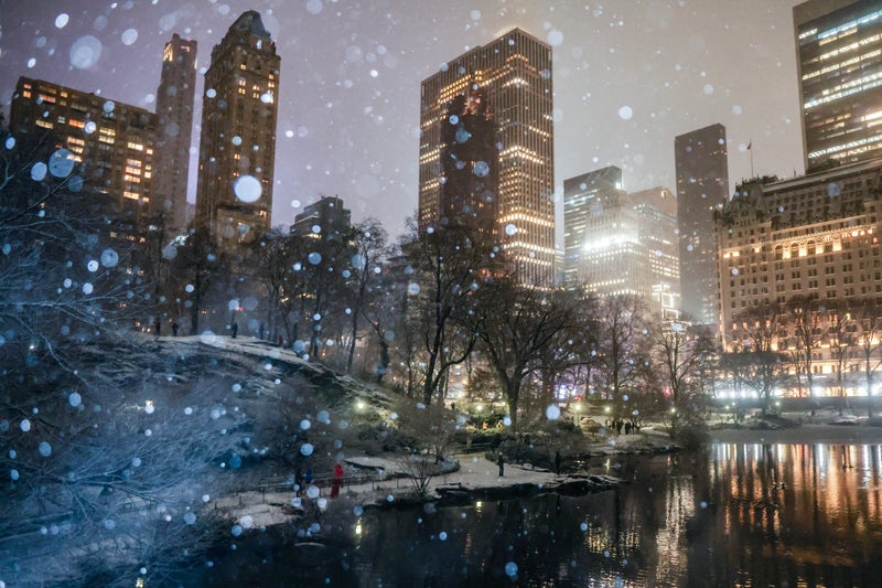
This will be the 10th time this winter that the polar vortex — which keeps the coldest of Arctic air penned in at the top of the world — stretches like a rubber band to send some of that big chill south, said Judah Cohen, seasonal forecast director at the private firm Atmospheric and Environmental Research.
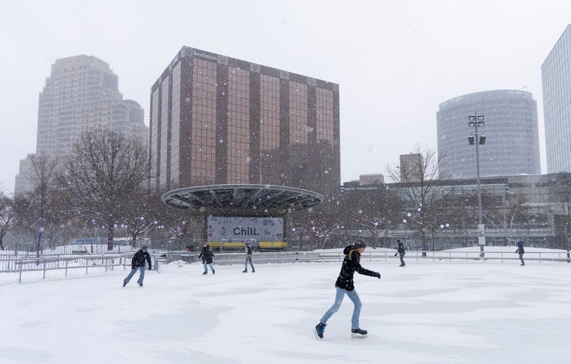
Kansas, Nebraska, Missouri and Iowa will have “probably the most impressive” cold, with temperatures as much as 35 degrees (19 degrees Celsius) below what's normal for this time of year, said Zack Taylor, a meteorologist at the weather service's Weather Prediction Center.
Meteorologists are going to want to study why this stretching is happening so often this year, but it could just be natural randomness, said Laura Ciasto, a meteorologist at NOAA's Climate Prediction Center who specializes in the polar vortex.
It's moving west and will push the jet stream — the river of air that moves weather systems such as storms — into a pattern that causes polar air to plunge and stay there, Cohen said.