Weather tracker: the polar vortex disturbance behind Storm Blair
Share:
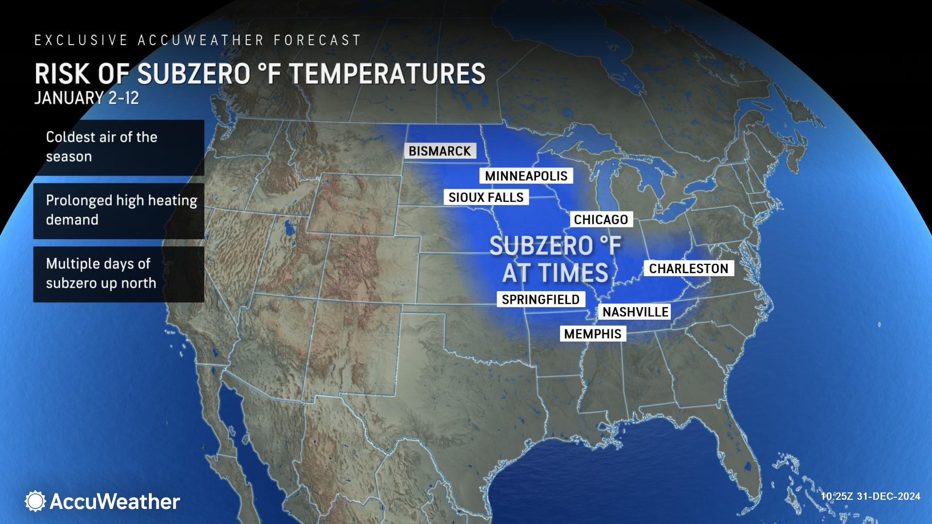
The winter storm has brought significant snow, dangerous ice storms and freezing rain across North America. A bitterly cold Arctic airmass, which has gathered across Canada in the past week, has spread southwards into the US over the weekend. Having already allowed temperatures to fall as low as -40C in northern Canada, this cold airmass combined with moisture-laden air from the Gulf of Mexico to become a major winter storm named Blair, bringing disruptive winter weather across a wide area of the US.
Over the past 24 hours, Blair has brought significant snow accumulations as well as dangerous ice storms and freezing rain across a wide area, from the central Great Plains in the west, across the Mississippi and Ohio Valley, and on to the east coast.
It is forecast that up to 2cm of ice could accumulate on surfaces, leading to power outages and tree damage. The cold Arctic airmass is then expected to continue to push southwards across much of the country through this coming week, reaching as far as the Gulf Coast.
The underlying cause of Storm Blair and the Arctic airmass intrusion is a continuation of the disturbance to the polar vortex, a huge three-dimensional ring of powerful winds typically 12-30 miles (20-50km) aloft that spins around the north pole. Disruption to its usual pattern means it is going to be moving well south across the continent in the coming days, dragging the cold air with it.


