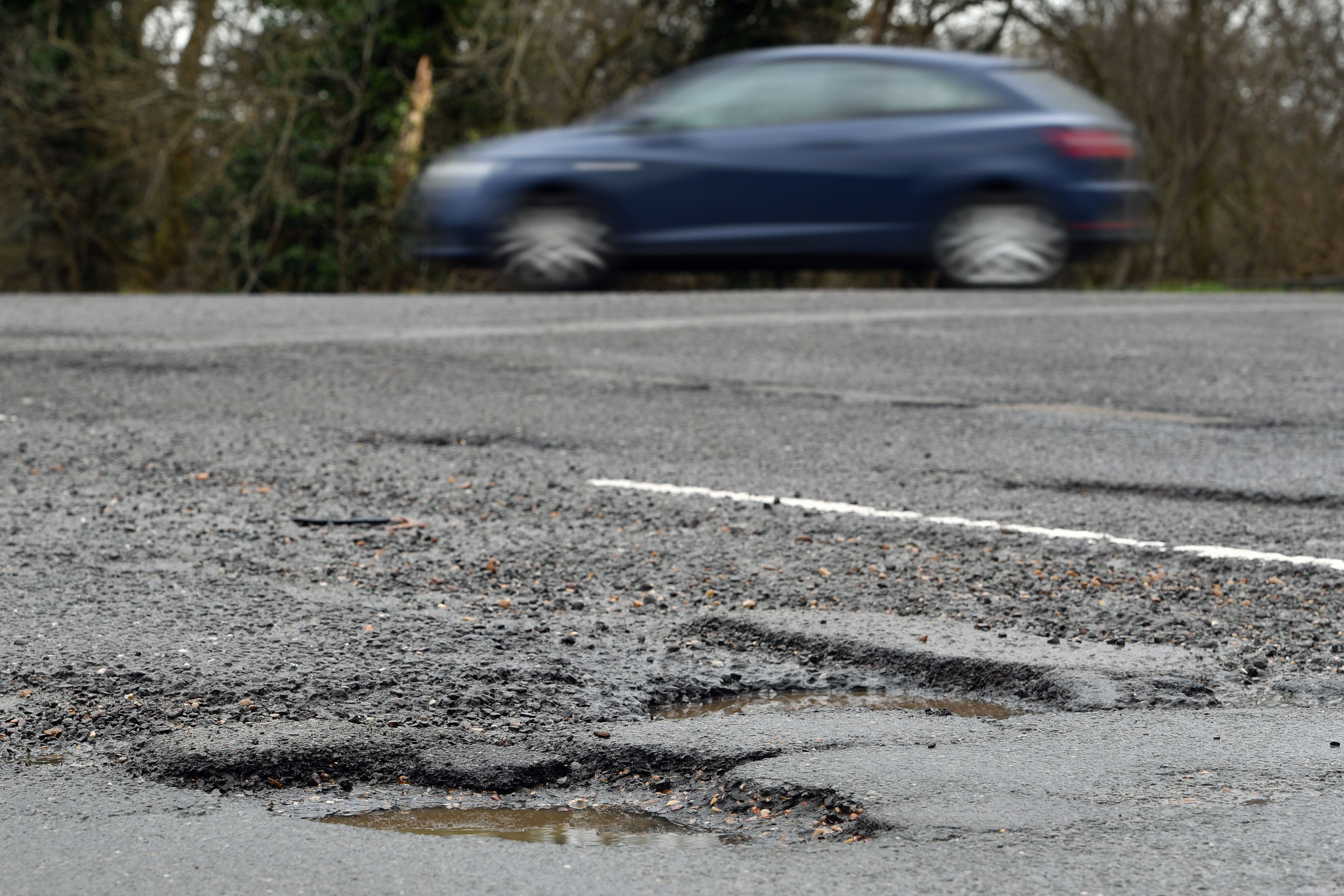
Britain's pothole hotspots: Interactive map reveals the areas where roads are worst blighted by craters - so, how does your hometown stack up?
Share:
For drivers who endure Britain's crumbling roads daily, there's no doubt we're stuck in an escalating 'pothole crisis'. These dangerous holes can injure and even kill cyclists and motorists, and are popping up quicker than they can be filled. Now, interactive graphics reveal the shocking extent of the problem - and scientists think climate change is to blame.
![[While potholes can be a very costly inconvenience for drivers, they can be tragically fatal for cyclists and motorcyclists. Pictured, a Hertfordshire resident last year]](https://i.dailymail.co.uk/1s/2025/01/14/12/94073943-14282189-image-a-9_1736856802199.jpg)
Climate organisation Round our Way reveals 952,064 potholes were reported in Britain between January and November last year, marking a five-year high. MailOnline's interactive map, based on the new data, reveals the local authorities with the most pothole reports during the period.
![[Aerial shot reveals the shocking state of Westgate Road, Beckenham, South East London, where massive water-filled potholes are more akin to small pools]](https://i.dailymail.co.uk/1s/2025/01/14/12/91514139-14282189-The_road_is_unadopted_meaning_it_is_not_completely_clear_cut_who-a-22_1736859287877.jpg)
Edinburgh is the local authority with the most for the year (32 potholes per mile), followed by Kirklees in Yorkshire (26.1) and Newcastle upon Tyne (26). Also in the top 10 is Hillingdon in London (24), Cheshire East (19.8), Darlington (16.9), Bolton (16) and South Gloucestershire (16).
![[While potholes can be a very costly inconvenience for drivers, they can be tragically fatal for cyclists and motorcyclists]](https://i.dailymail.co.uk/1s/2025/01/14/11/24955602-14282189-While_potholes_can_be_a_very_costly_inconvenience_for_drivers_th-a-1_1736853010080.jpg)
So, how does your hometown stack up?. The new figures, uncovered through a Freedom of Information (FOI) requess by Round our Way, shed light on the crumbling state of British roads (file photo). Potholes are created when water seeps into the roads, freezes, expands and in turn forces cracks and weaknesses in the road surface.
![[A robot can fill in cracks in the road before they become potholes, potentially saving local councils vast amounts of time and money]](https://i.dailymail.co.uk/1s/2025/01/14/12/79835211-14282189-The_robot_can_fill_in_cracks_in_the_road_before_they_become_poth-a-4_1736856085649.jpg)
As traffic pass over these weak spots, the weakened road material is displaced or broken down from the weight, creating the pothole. Dr Benyi Cao, lecturer in environmental engineering at the University of Surrey, blames climate change for the surge in potholes.


