Storm Hermina maps show where flood and weather warnings are in place
Storm Hermina maps show where flood and weather warnings are in place
Share:

Wet and windy weather will continue to batter parts of the UK over the next few days, as Storm Herminia makes its mark. As our map show, the Environment Agency (EA) has put 52 flood warnings in place across south west England. The Met Office has also issued yellow rain and wind warnings for the same area as well as large parts of Wales from today until tomorrow.
![[Storm Hermina map shows where flood alerts and weather warnings are in place]](https://metro.co.uk/wp-content/uploads/2025/01/SEI_237530647-dbfe.jpg?quality=90&strip=all&w=646)
It follows previous warnings overnight. A yellow rain warning means ‘spray and flooding likely to lead to difficult driving conditions an possible road closures’. There’s also a chance homes and buildings could be damaged. A yellow wind alert, meanwhile, means it’s likely that some coastal routes, sea fronts and coastal communities ‘will be affected by spray and/or large waves’.
![[Storm Hermina map shows where flood alerts and weather warnings are in place]](https://metro.co.uk/wp-content/uploads/2025/01/SEI_237529672-0f9a.jpg?quality=90&strip=all&w=646)
There could also be delays to road, rail, air and ferry transport. Flooding had already hit several areas in the south west on Sunday. In Somerton, Somerset, 61 people and some pets had to be rescued from their mobile homes at a residential park after the area was flooded, according to Somerset Live.
![[HELENSBURGH, SCOTLAND - JANUARY 24: People walk about in the heavy rain on January 24, 2025 in Helensburgh, Scotland, United Kingdom. The Met Office has issued rare red Warnings for wind for Northern Ireland as well as central and southwestern areas of Scotland. These are accompanied by wider Amber and Yellow Warnings for wind, as well as Yellow Warnings for rain and snow across the UK. (Photo by Jeff J Mitchell/Getty Images)]](https://metro.co.uk/wp-content/uploads/2025/01/SEI_237187293-28ef.jpg?quality=90&strip=all&w=646)
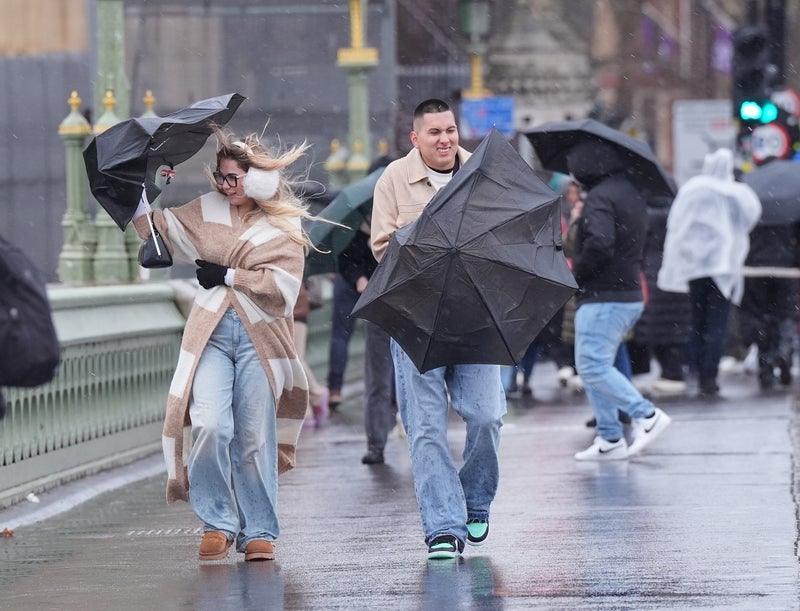
Okehampton in Devon had 35.8mm of rain on Sunday, while an 83mph gust was recorded in Berry Head, south Devon, and 81mph in Capelcurig, North Wales. Storm Herminia – named by Spain’s weather forecaster – has not quite met the Met Office’s criteria of a named storm, but there are still fears it could cause further disruption as well as damage.
![[People view large waves as Storm Eowyn arrives, in Porthcawl, Wales, Britain, January 24, 2025. REUTERS/Toby Melville]](https://metro.co.uk/wp-content/uploads/2025/01/SEI_237184244-0624.jpg?quality=90&strip=all&w=646)
A Met Office spokesperson warned: ‘With the ground so wet, these are likely to produce or sustain some flooding impacts, primarily affecting road travel. Additional hazards could include further lightning strikes, and hail making road conditions dangerous.’.